Dan Covers the Colorado Trail
Before making the move to the Front Range from Southwest Colorado in September I was interested in covering as much ground as possible through the San Juan’s via the Colorado Trail throughout the summer.
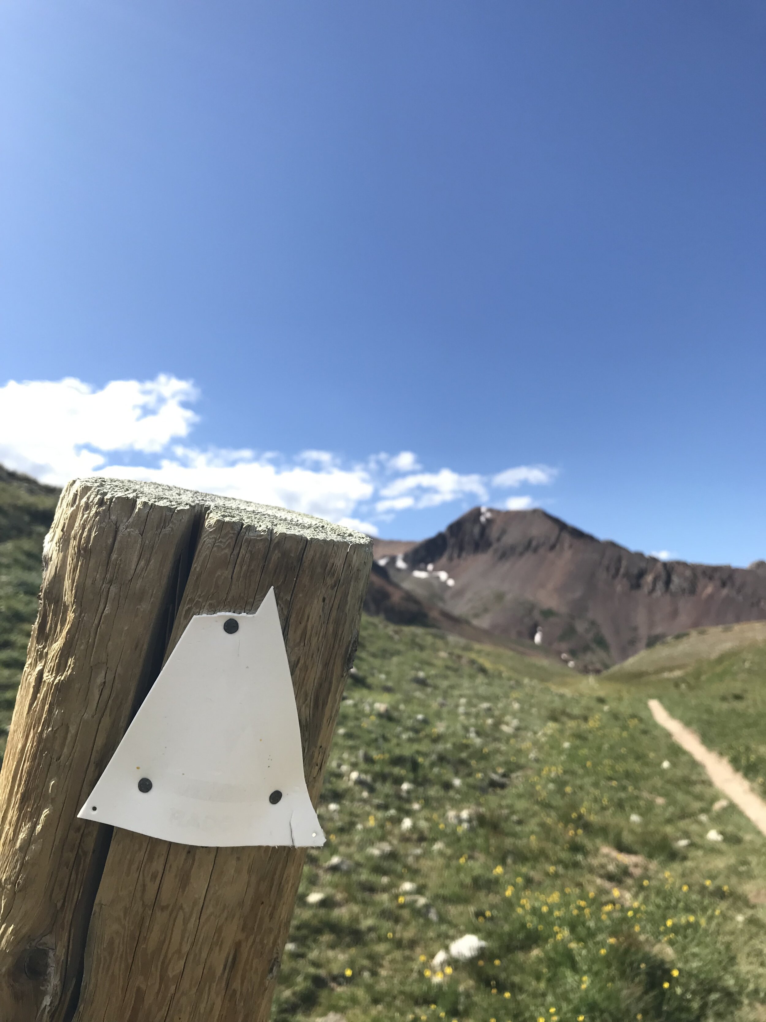
I spent several weekends knocking out 1 and 2 night trips between Silverton & Durango covering segments of the Colorado Trail both by foot and by bike. A few highlights were segments 24, 25, and 26. These three segments spend the majority of the time between 10,000 and 12,500 feet above sea level, so the travel is mostly above tree line making for some spectacular views.
Before setting off on segment 24 I knew the forecast looked pretty grim and plenty of rain was forecasted, but my intention was to hike in about 14 miles day 1 and set up a basecamp near EIdorado Lake, which would put me close to some fishing and the base of neighboring White Dome. I started this segment at Molas Pass and headed northbound on the trail into the Weminuche Wilderness, plummeting 2,000 feet from the pass down to the Animas River. The San Juan’s had experienced a record avalanche winter, and I encountered about four slide paths the size of a football field, filled with thousands of trees snapped like toothpicks.

By the time my desired campsite was reached by late afternoon the weather I had been expecting settled in, by 5pm I was greeted by some very moody looking clouds, rain, and the occasional flash of lightening. The rain would occasionally let up but by nightfall it had really set in and would continue throughout the night and into the morning. The morning of day 2 I decided to hike out about 7 miles to the Cunningham Gulch Trailhead rather than attempt to summit a 13,600 ft peak or waive around a fly rod surrounded by thunderstorms all afternoon. After a 3 mile road walk back towards Silverton I was able to hitch a ride back into town.

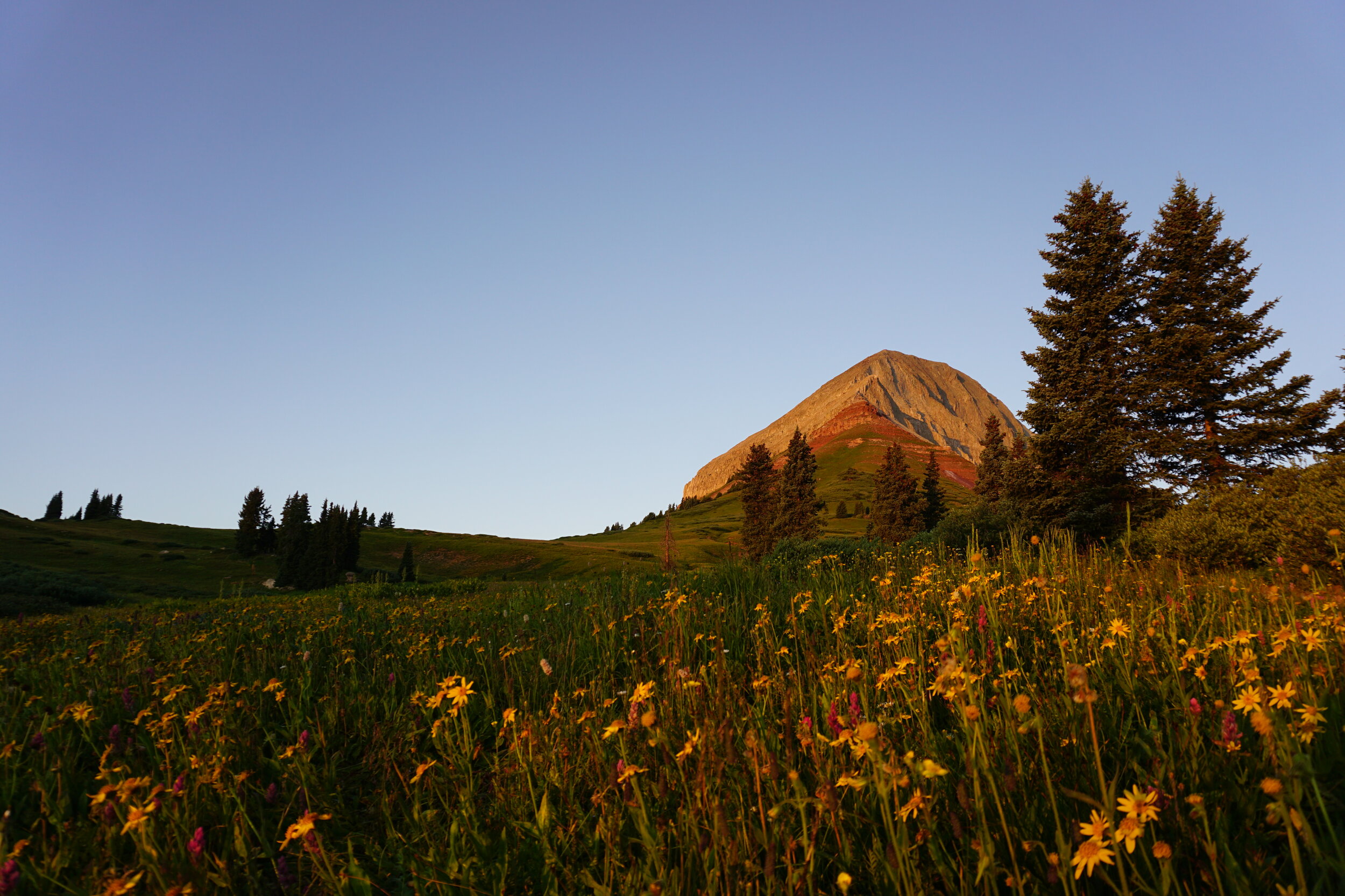
Segment 25 was my favorite piece of the trail I saw all summer. Day 1 I covered about 20 miles in total, I started from Molas Pass and headed south, crossing Lime Creek and summiting a pass next to 13,693 foot Rolling Mountain. I was on the Colorado Trail proper for about 13 miles before I detoured off back towards Engineer Mountain and Coal Bank Pass where I had parked my car. I spent the night above tree line beside Engineer Mountain before a short but sweet 4 mile hike out the next morning.
The pieces I used and abused all summer were the following:
Outdoor Research Ferrosi Short
Outdoor Research Helium II Rain Jacket
Outdoor Research Sequence Duo T-Shirt
Outdoor Research Ascendant Hooded Jacket
Outdoor Research Echo Hoody
Outdoor Research Enigma Bottoms
Osprey Talon 44 Pack
Osprey 2.5 liter LT Reservoir
Sawyer Squeeze Water Filter
Good To-Go Mexican Quinoa and Pad Thai meals
MSR PocketRocket 2 with .75 liter pot
Mountain Laurel Designs Monk DCF Tarp